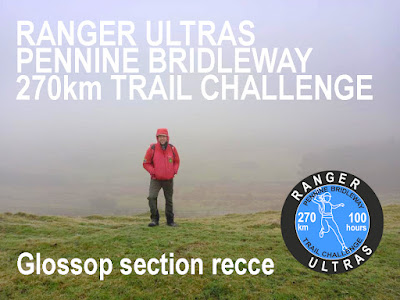
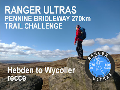
PB270 Trail Recces
Continuing our recce notes series for the Ranger Ultras' Pennine Bridleway 270km Trail Challenge.
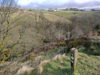
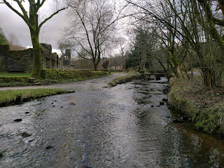
John Figiel and I drove up course to Checkpoint 2 at Hebden Hey. Our aim for the day was to photo document the race route up to the hamlet of Wycoller.
Specific areas of attention were the:
- Checkpoint 2 re-connect to the Pennine Bridleway at Shaw Bottom
- Diversion off the Pennine Bridleway, on the far side of Gorple Reservoir, to avoid a road section with no pavement. Reconnecting to the Pennine Bridleway at Gorple Gate Track.
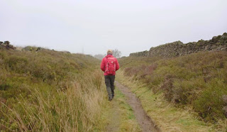
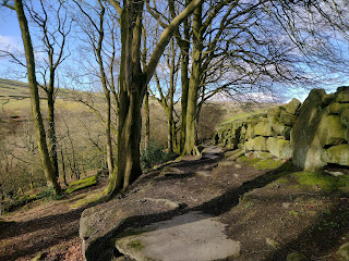
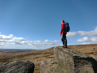
Our trail time was limited with car travel required to and from Hayfield as well as a taxi from Wycoller back to Hebden Bridge. That said, we covered 28km of the Pennine way in just under 7 hours, which included a leisurely picnic lunch, plenty of pauses for photos, chat and laughter along the way.
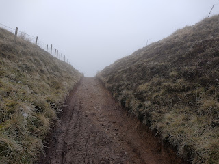
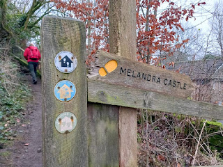
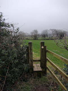
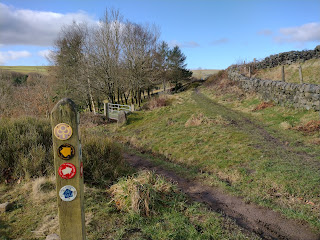
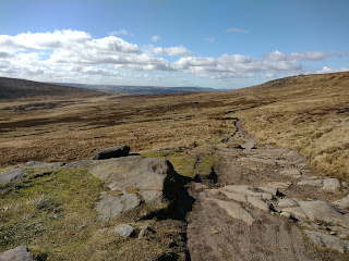
At no time did we find ourselves at all navigationally challenged. An occasional quick reference to the Harveys XT40 map was all that was needed. The course is well signposted, with plenty of new fixed finger posts in position and PBW discs on gateways too.
Hence, the Pennine Bridleway Trail Challenge terrain is very much an accessible proposition for walk-jog participants, who can adopt a steady pace strategy and still have time for rest, refresh and food in the Checkpoints. As well enough runnable undulations to keep faster participants entertained and keep their momentum if choosing to aim for a 'time' or one of the trophy prizes.
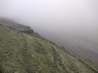
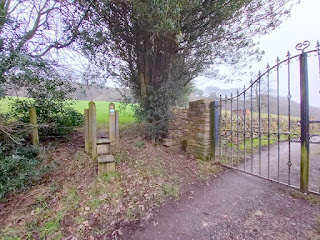
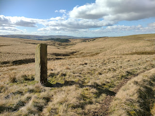
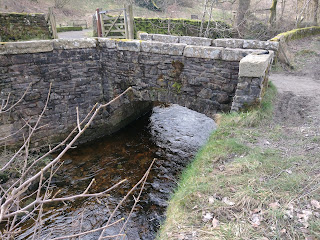
Slack to Shaw Bottom


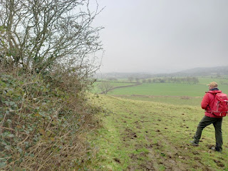
Gorple Lower Reservoir - Compulsory safety diversion avoiding road with no pavement.

 |
| <<< this way |

 |
Pause at the shooting cabin (private, locked, no access) |
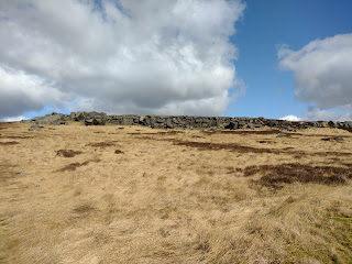 |
| Dicken Rocks |
 |
| follow the trod up hill, northward, a small stream on your left side |
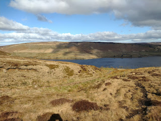 |
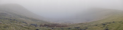
| Clough Head overlooking Widdop Reservoir |
 |
| Reconnect to Pennine Bridleway |
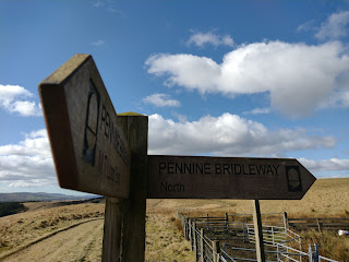 |
| Pennine Bridleway North at Ben Edge (DO NOT continue on the Mary Townley Loop!) |
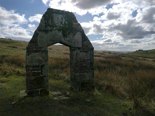 |
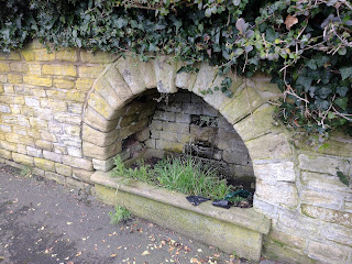
C17th stone doorway arch, remains of a farm built by Robert Parker. In 1886 the house was abandoned and demolished at the same time as the Coldwell reservoirs were being built. Inscription on the door lintel: OTHOV OF MIGHTY MOST SETHEM THAT MADE COSTY RP 1672 Refers to the construction date of the farm. There is also an inscription with the names of Robert Parker, his wife and son Robert Henry. |
 |
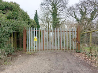
| All farm buildings and private structures are out-of-bounds to race participants |


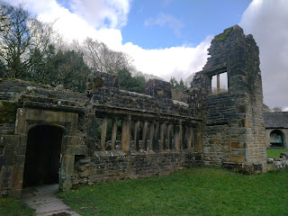 |
| Wycoller Hall ruin. Said to be have been the inspiration for Ferndean Manor in Charlotte Bronte's Jayne Eyre. |
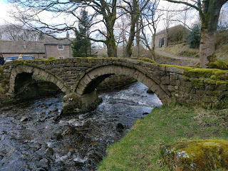 |
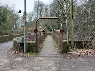
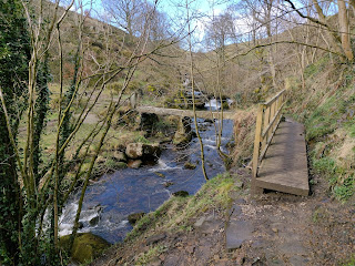
| 15th Century Pack Horse Bridge |
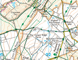
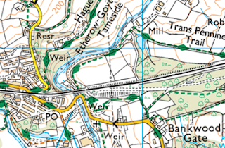
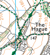
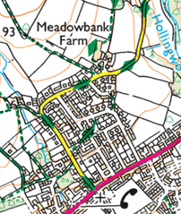
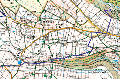
The screen shots below are from my Ordnance Survey subscription, which at 1:25,000 scale give better definition.

Whether on a recce or during the race itself, please remember that you're representing the trail running community as a whole as well as a Ranger Ultras' participant. Please don't let being in the 'trail bubble' make you forget the following considerations:
- Follow the Countryside Code
- Be courteous to other trail & footpath users
- Shut gates after you unless they're tied open
- Please treat cafes, other establishments and their customers with respect
- If you're a bit disheveled or muddy, ask permission to enter / sit down
- Don't litter
- If you need the toilet, use public conveniences where at all possible
- Don't pee or poop in residential areas, beside properties or farm building.
- Go well away from buildings and water courses, bury it or carry it out in a bag
- Move swiftly through and past private residential areas
- Don't shine headtorches into residences or farm building
- Farm buildings are private and should be treated as out of bounds
- Farm building and public toilets are not appropriate bivvy locations